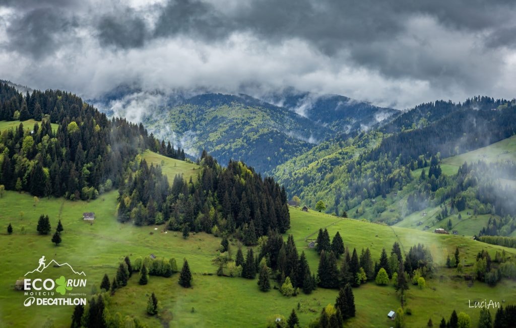
The Marathon course is made of the three loops that form the EcoRun clover; the start and the finish are in Moieciu de Sus.
Loop 1 · 14.2 km
EcoRun Moieciu starts from the centre of Moieciu de Sus, in front of the community hall. The first loop follows the asphalt road up Valea Popii, then continues on 1 km of forest road.
The course crosses the river on a small wooden bridge on the right side of the valley and takes the trail that climbs steeply through the forest to La Mândru, where the first water point is. After another 700 m of gentle climbing the course turns sharply and descends on the marked trail (forest road, red stripe) from Muntele Sf. Ilie towards the village of Fundățica in Valea Cheii. The course goes right on the forest road and leaves it at once for a short but sustained climb; after another 1.5 km of rolling ascent it reaches checkpoint CP1, with an aid station. From here the course continues 800 m on the asphalt road, then turns right and descends on a village lane between the houses back to the forest road. After a short descent on the road, the course crosses it and continues with the last climb of Loop 1, towards Drumul de Hotar. From here the course descends, gently at first and then ever more steeply, to Moieciu de Sus along Poteca lui George. The last stretch of the descent is quite steep: follow the switchbacks of the trail without stepping on the hay meadow.
The last metres follow the EcoKids course: the route climbs to the telecom mast and descends on Ulița Bisericii to close Loop 1 for the Marathon and the Half. (New in 2026: this stretch used to be on asphalt.)
The first time limit is here: 2:30 h after the start.
Loop 2 · 13.5 km
The course continues uphill past the village school. The climb is about 1.3 km long with 240 m of elevation gain. On this stretch the trail is narrow, lined by the fences of the hay meadows; on a rainy day it becomes very slippery and hard to run. The climb ends at about 1200 m next to Colțul Zilistea, at km 15.5 of the whole course, followed by a fairly flat 2 km along the ridge called Culmea Lungă. From here begins the steep descent towards the Cheile Grădiștei – Moieciu resort. On this segment you must follow the marked course so as not to damage the hay meadow you cross.
From the Cheile Grădiștei – Moieciu resort (water point on the terrace by the pool) the course climbs the small ski slope, turns left past the lift installation and climbs into the forest. It follows a gentle forest road, then enters a forest track and climbs fairly hard through the marked corridor to a clearing with a checkpoint. From there it goes left, climbs along the contour on a forest road and, after two wide sets of switchbacks, comes out in a clearing at a barrier. From this point the course climbs towards the Cheile Grădiștei pool, then to the tea house, where there is an aid station. Inside the resort there is a loop towards the ski lift and the MTB track; the course then leaves the resort on a road towards Fundata and, on a trail to the left, reaches the newly paved road behind the church.
From here the course descends on a road and then a clear trail into Moieciu de Sus, passes the antenna and the church of Moieciu de Sus and reaches the central point again, CP4, the end of Loop 2, on a narrow trail.
The second time limit is here: 6 h after the start.
Loop 3 · 14.3 km
Km 28 of the marathon: the course sets off up Valea Popii and after 950 m of asphalt turns left up a village lane towards Vârful Bisericuța, a climb of 320 m of elevation gain. The climb is steeper at first and eases after the first 500 m. The course follows the rolling trail, first parallel to Valea Popii and then along the crest of Dealul Bisericuței up to the cross, where a steep descent to the left begins, down into Valea Bângăleasa.
Following Valea Bângăleasa on a gentle climb, 700 m of forest road, the course reaches the last big climb of the race, up to Poiana Guțanu. After the aid station with energy drinks, food and water, the course crosses the Bângăleasa river and climbs about 360 m through the forest to the highest point of the course, 1460 m at km 34. The course reaches Poiana Guțanu, where checkpoint CP5 is, and from there runs along Muchia Pleșii for the last 6 km of the marathon.
The course goes on along the red-stripe tourist trail that comes down from the Bucegi mountains and, at the fork with the trail to Șimon, keeps left along the ridge towards Moieciu de Sus. It follows the ridge until it is above the centre of the village, where the view opens wide, then drops steeply into Moieciu de Sus. It crosses the Bângăleasa river once more and continues about 300 m on asphalt to the finish.